The MNP-M7 navigation receiver is designed to determine current coordinates, altitude, speed and time by signals of satellite navigation systems GLONASS, GPS and SBAS (WAAS, EGNOS). The module can be easily integrated with navigation systems.
The navigation receiver can be applied in high-precision navigation systems including systems with fast-moving objects, vehicles movement control systems for railway / automobile / air / marine / river, and other types of transport. The receiver module is a single-sided PCB with contact pads for SMT.
| Parameter | Value |
|---|---|
| Number of channels | 24, each one can operate both with GLONASS and GPS systems |
| Operation modes | GLONASS, GPS, GLONASS + GPS |
| Operating frequencies | GLONASS L1 (1598.0625—1608.75 MHz); GPS L1, SBAS (1575.42 MHz) |
| Output data | position (longitude, latitude, altitude), speed vector, time and date UTC, measurements at clock and carrier frequency |
| User interface | two serial ports |
| Communication protocol | binary, IEC 61162 (NMEA-0183), RTCM SC-104 |
| Parameter | Valuе |
|---|---|
| Time to first fix, up to: | |
| — «hot» start | 5 s |
| — «warm» start | 35 s |
| — «cold» start | 40 s |
| Recovery time after signals loss, at time of loss, up to: | |
| — 120 sec | 5 |
| — 10 min | 10 |
| Update rate | 1—10 Hz |
| Inaccuracy in time syncronization relative to UTC, up to | 0.1 μs |
| Object speed, up to | 515 m/s |
| Positioning innacuracy with probability 0.95, up to: | |
| — GLONASS | 5 m |
| — GPS | 5 m |
| — GLONASS/GPS | 5 m |
| — differential mode | 2 m |
| Parameter | Value |
|---|---|
| Power supply voltage | 3.0 ±0.2 V |
| Board power consumption, up to | |
| — signals tracking | 0.4 W |
| — signals acquisition mode (typical) | 0.66 (0.6) W |
| Operating temperature range | -40…+65 °C |
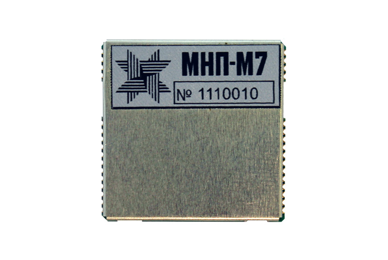
| Overall dimenions | 29.25х29.25х3.8 mm |
| Weight | 6 g |
Evaluation kit
Evaluation kit is desinged to evaluate the features and gain experience operation of MNP-M7 navigation receiver.